Maps
75 years after its division (the end of World War II was the turning point) and 30 years after German reunification, the map department was the last of the special departments to be reunited in the refurbished site Unter den Linden.
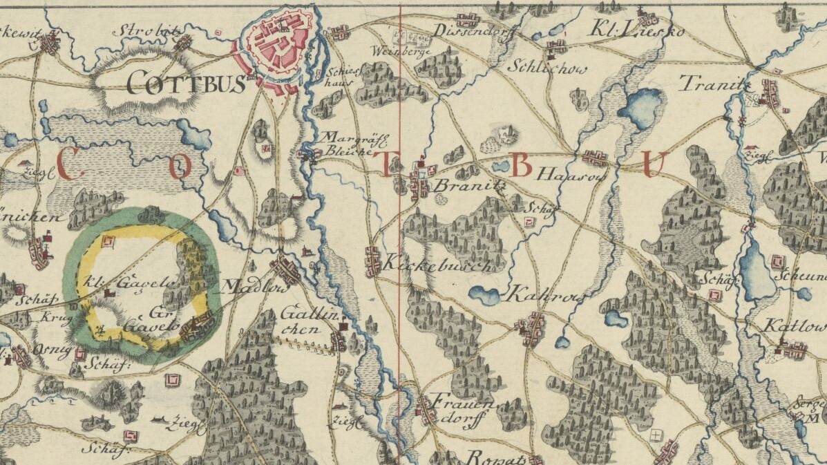
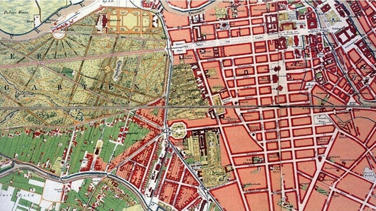
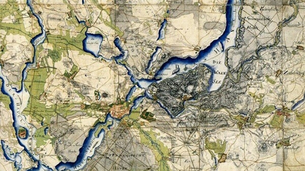
In the maps reading room, which is back at its traditional place, there is a rich potential for research in holdings of more than 1.2 million maps, ca. 250,000 electronic maps, 155,000 views, 34,000 atlases and 800 globes.
Reference literature in the maps reading room offers direct access to specialist publications which are shelved according to a regional and subject classification.
The map department has been a separate department since 1859, the collection of cartographic materials dates back to the foundation of the library in 1661. Being Germany's major centre of cartographic holdings, the department acquires, catalogues, and holds items from all countries and all parts of the world:
- Maps
- Atlases
- Globes
- Topographic views
- Cartographic literature
StabiKat Modern maps & cartographic literature
StaBiKat Classic Modern maps & cartographic literature
IKAR-Old maps database Pre-1850 printed maps
Topo List List of topographic map series
KartDok Cartography repository
Bibliographia Cartographica Cartographic literature incl. articles
Bibliographia Cartographica List of online publications
Berlin Views Bibliography of topographic views of Berlin
ZDB Journals of cartographic relevance
ZDB List of journals of the former special subject collection of cartographic literature
EZB E-Journals of cartographic relevance
DBIS Databases of cartographic relevance
CD- / DVD-ROMs of the map department listed in the Stabikat
